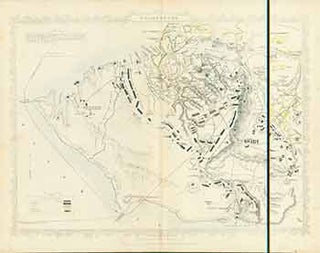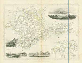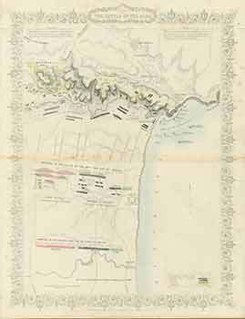
Plan of the Battle of the Alma (Map).
London: London Printing And Publishing Company, [1860s - 1890s?]. 11 x 14 inches. Very Good. Minor foxing. Folded, hand-colored map of Plan of the Battle of the Alma. Drawn and engraved from English and French official documents. More